



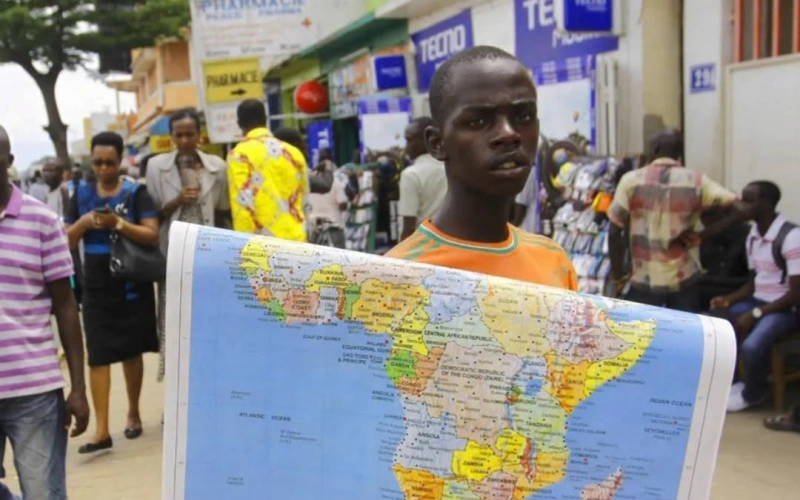

The United Nations General Assembly has voted to adopt the Equal Earth map as the world’s preferred standard. The decision ends centuries of Africa appearing smaller than it truly is on global charts.
The resolution is called Correct the Map. It passed on Friday with 164 votes in favour.
Only the United States voted against it. Six countries abstained.
Togo led the push on behalf of the African Union. The Bahamas also sponsored the text.
For generations, the Mercator projection has shaped how the world sees Africa. Flemish cartographer Gerardus Mercator drew up the map in 1569.
The design was built for European sailors who needed straight lines to navigate the seas. It worked well for shipping routes.
But it badly distorted land sizes the further a country sits from the equator. Africa straddles the equator, so the continent ends up looking far smaller than it is under Mercator’s lines.
Greenland, Russia and North America appear inflated instead. Africa is in reality about fourteen times larger than Greenland.
Yet the two have often looked similar in size on classroom walls and in atlases. The Equal Earth map fixes that distortion.
Cartographer Tom Patterson and colleagues developed the Equal Earth map in 2018. It keeps continents at their correct relative sizes, even if their shapes bend slightly to achieve that accuracy.
Mercator preserves shape at the cost of size. The Equal Earth map does the opposite, preserving size at the cost of perfect shape.
Togo’s foreign minister, Robert Dussey, told Reuters ahead of the vote that a fair world begins with a fair map. He framed the campaign as a matter of dignity as much as geography.
The African Union had already adopted the Equal Earth map as its own standard back in March. It asked the wider UN membership in April to follow suit.
The vote does not ban the Mercator projection outright. Togo’s government has said it remains fully suited to maritime and aerial navigation.
The resolution is also not legally binding on member states. What it does is press governments, schools, technology firms and international bodies to switch to the Equal Earth map, or a similar equal area design, wherever true scale matters.
That includes classrooms and reference materials. France’s foreign affairs minister, Jean-Noel Barrot, announced on Friday that his country would move away from Mercator.
He argued that visual distortion eventually shapes how people perceive power and importance in the world. The United States pushed back hard against the resolution.
Its UN ambassador, Mike Waltz, described it as an ideological exercise dressed up as a technical update to cartography.
For African campaigners, the fight was never really about lines on paper. Groups such as Africa No Filter and Speak Up Africa built the Correct the Map campaign around a simple argument.
A shrunken Africa on the wall of every classroom quietly teaches children that the continent matters less than it does. The African Union has linked the campaign to a broader push around reparations.
It calls this reclaiming Africa’s rightful place on the global stage. Nigeria, Kenya and other African states now face a practical question.
How quickly should they update the maps used in schools, government offices and public institutions? Whether the Equal Earth map becomes the default on phones, in atlases and on classroom walls will depend on what happens next.
Governments and technology companies must decide how seriously to treat a vote that carries symbolic weight but no binding force. The United Nations has not set a firm timeline for updating its own materials.
Still, the resolution calls for cooperation between UN bodies and African institutions. The aim is to strengthen local mapping capacity across the continent in the years ahead.


